Earlier on we showed you the human impact of the storm from the ground. But from the air, it is another story. With the assistance of Astrum Helicopters, 7NEWS took to the air this morning, and here’s a recap of what we saw.
Jules Vasquez Reporting,
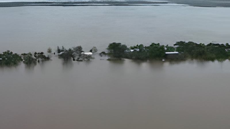
Here is Gales Point. Instead of a point it looks like a trail of dots, consumed by the Southern Lagoon. Many areas are completely submerged. And here is a rescue boat inside the lagoon while a BATSUB helicopter was making a flyover inspection.
And near to Gales Point is submerged mile clearing that you can see, that’s the Coastal Road. And here is where a river disgorges itself into the sea in
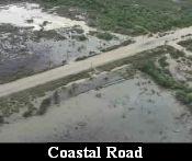
a turbid frothing rush. Further we saw vast acreage of citrus swamped by the flood waters.
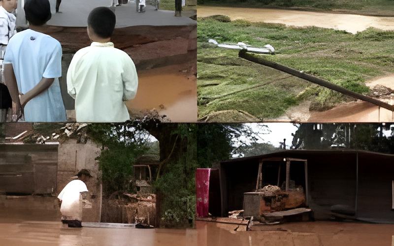
And here is the spot at mile 23 near Middlesex on the Hummingbird Highway which looks like a monster has gnawed away at the highway.
And this is Sittee, after the water has receded. Many structures are almost
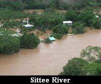
fully submerged and in some places you can only see rooftops.
And here it is, the Kendall Bridge that just washed away, leaving a vast gulf between north and south. It is a bridge that served for decades, during many difficult floods.
And this home on the banks of the Sittee has been swallowed by the roaring river. Whilst this boat powers through the heart of it. But in most places the river is so swollen that it is hard to tell where the water begins and the land ends. And to escape the high waters, most residents have to go to the police station for higher ground while the others waited in their homes for the waters to subside. But the river is still angry and it’s overrun makes even the sea look confusing.
As we noted those water levels that you saw in that footage are significantly receded from their crest, which best information suggest was achieved sometime between 6 and 8 this morning.