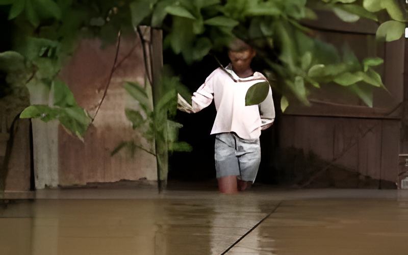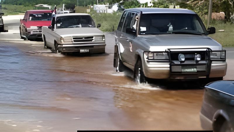
Travel on the Western and Northern Highways remains perilous tonight as parts of both roads are still under flood waters. An assessment by the Ministry of Works dated Sunday November second lists flood waters at mile 4, miles 9 and 10, and miles 10 and 11 on the Western Highway. At mile 4 the depth is 6 inches and between miles 9 and 10 there are spots where it is 5 inches deep.
On the Northern Highway there are four areas of concern when crossing: the first is between miles 2 and a half and mile 3, the second is at mile 4,
the third between miles 16 and 17, and the fourth between miles 22 and 23 near Gardenia Village where the water is said to be 8 inches deep. At mile 4 on the Northern Highway near Driftwood Bay, the water is 10 inches deep.
At most spots the water is stable and Minister of Works Anthony Boots Martinez says engineers are closely monitoring the situation. He says that as soon as the waters recede – both roads will be re-paved.
Hon. Anthony Boots Martinez, Minister of Works
“It is about 320 acres of land affected on the Northern Highway and it is about 1,800 homes and businesses affected by the flood. We are working tirelessly night and day to try to rescue the situation to at least make the road maintain open and passable.
On the Northern Highway we have as you know between miles 3 and 4, just before Haulover Bridge, we have had some terrible washout. The road there has some big craters and we have installed two sets of culverts. We are in the process

of installing one more across the Northern Highway, one of the culverts leading to a canal by Maheia’s United there and we are waiting for the waters to recede. But in the interim with the potholes that we have out there, we have put over 12 loads of hardcore out there and we continue to put more. That is just a temporary fix. When that recedes we will scarify that area, all the way down to the bridge, from the bridge down back; we will scarify the area and pave the area back.
We are terribly concerned and we have the highways being broken up and the Prime Minister has made a commitment for us to really deal with the proper infrastructure for the country.”
The report from the Ministry of Works notes that streets in Belama Phases three and four remain under water, in some cases 2 feet of it and that the recently installed culverts and, quote “not really reducing water levels in the Belama phases 3 and 4 as anticipated.”
On Sunday in the River Valley area, the Boom Hattieville Road is still under 4 feet of water and is impassable. The Boom cut off road is under 5 feet and also impassable. Water is falling at the Rancho Dolores Bridge and the Lemonal Road but both remain closed. The Flowers Bank road has 8 inches of water but it has been reopened.
In the Orange Walk District, the streets in Douglas Village are now under 2 feet of water and 50% of the village is under water. Elsewhere, the San Roman Road, the Yo Creek-San Antonio Road, Orange Walk-Blue Creek Road, and the Honey Camp Road-Dubloon Causeway are all closed to traffic.