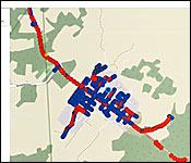
Today was celebrated around the world as GIS Day 2020. Every year, a day in November is set aside to reflect on how much the use of Graphical Information Systems is improving the way professionals do business. It is also allowing policy-makers to make more informed decisions on challenging problems that require a big-picture perspective in order for trends to be more easily identified.
As a quick refresher, GIS - or Graphical Information Systems - is a framework that provides the ability to capture and analyse spatial and geographic data.
Here at home, the use of GIS technology is slowly being mainstreamed, by the Belizean GIS experts, Total Business Solutions.
In fact, just last week, we showed you a neat tool they created, which showed how the 2020 General Election played out in the 31 electoral divisions countrywide.
For a number of years now, the private sector, non-governmental organizations, and government agencies have been using GIS technology to improve the efficiency of their workflows. For GIS Day 2020, Total Business Solutions organized a virtual forum in which they invited a few of those GIS-savvy organizations to discuss how the technology has allowed them to economize, especially in a time when waste and excess needs to be cut down.
7News attended, and here's what a few of the presenters had to say about the benefits of GIS integration in their enterprises:
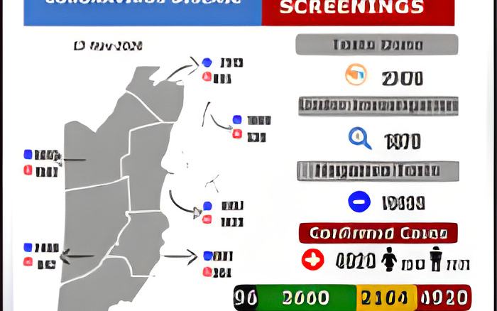
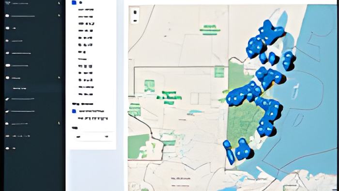
Mark Noble - Representative, SIB "And then we have other dashboards that we use for when the survey or census would be carried out in real time again is that as I mentioned earlier, the questionnaire forms contain the building ID and then in the dashboard here, this one for example, and this is used to display the map with anything we want to show and in the map we have the indicators that they statisticians want to see as they survey is going on where we then create aggregated reports and then we also show live progress of the census. So in this one for example, it is showing refusal, so in this map we can see the map of refusals and it is important to have refusals because there is a procedure if someone refuses to the interview, then the procedure is that we should try contacting the person a maximum of 4 times and then just mark it as completed, a refusal."
Roberto Hernandez - GIS Technician, BEL "Now, what GIS really helps us to do at BEL is one, it reduced our carbon footprint, we know that we are moving towards a greener economy and us as utilities we also have a role to play, so by using geo forms, we are then able to reduce the amount of paper we print on a daily basis, improve operation efficiency, reducing the time it takes for an employee to find your location, to get to your house to provide that service and also improve internal communication. You know they say a picture is worth 1,000 words but a map is worth 1,000 pictures. Say a customer walks in, they want to apply for power and maybe they live in a rural area that doesn't have street names, how will the customer service rep give adequate advice if that customer brings let's say a poll number, the poll closest to the property they are trying to service on, they can then input that poll number and it then takes them directly to that location. So, the customer service rep can on the spot advise the customer on the best way forward. So, the technician is out in the field, he can enter in that same poll number and he can then search for that same poll number and it then takes him to that location. So in the event he's leaving from Belize City from Belmopan and having to go to this location, he can then get directions and it then opens google maps or of you are using an iPhone or android it opens your native mapping service and then gives you turn by turn directions to that location."
The theme for this year's GIS Day is "GIS: A Platform for National Development".