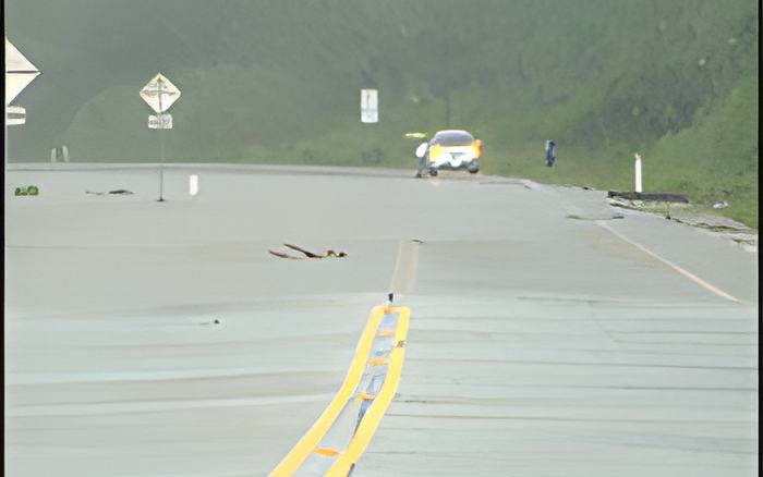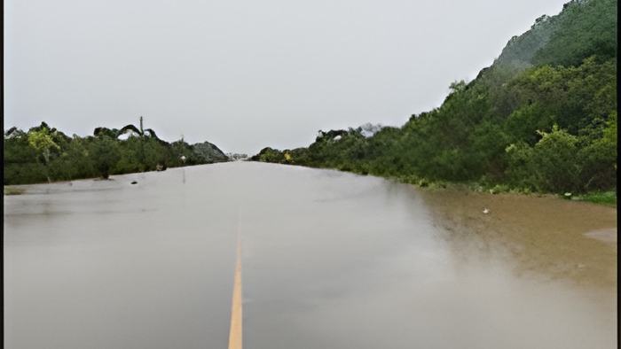
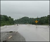
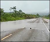
And while the highways took a pounding, Belizeans in the northern and central areas of the country woke up to a heavy downpour.
We spoke with the Chief Met this morning who told us that the data recorded for today's heavy rainfall has been the highest since the start of the rainy season.

Ronald Gordon - Chief Meteorologist
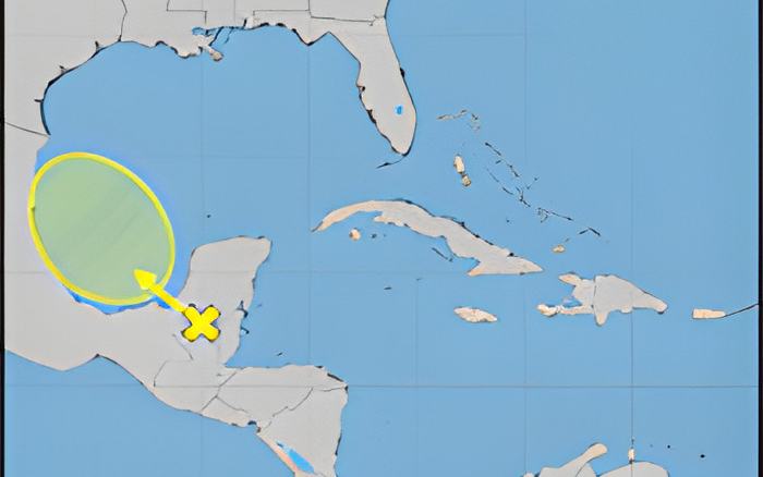
"We saw a combination of factors that could have played out here. We have the former tropical storm Christina which has now disappeared in the Eastern Pacific Ocean, combined with that, favorable, optimal conditions and a tropical wave that was forecasted over the area. So there was that indication from midweek onwards that we would have seen and increase in rainfall across the country. So we issued an excessive rainfall watch starting from I believe Tuesday evening, alerting for the potential of heavy rainfall across the country. So in terms of the features precisely what happened we have a lot of moisture coming up from the pacific associated with the remnants now of Christina the tropical wave near the surface and then we also have an upper level trough that favored a lot of convictive or thunderstorm activity developing. The perfect ingredients for what has become a very wet Thursday morning as most of you have seen. In terms of numbers our automatic weather station network is reporting that the peak was at Middle Sex that is based on where we have stations, they recorded an excess of 8 inches of rainfall and that is from 6:00pm Yesterday evening until present moment so that is a lot of rainfall in less than 24 hours. Another notable location is Kendall which recorded about 7 inches of rainfall, and then La Democracia we had a about over 4 inches between 4 and 5 inches so certainly heavy rainfall from what we would consider the central and northern parts of the country."