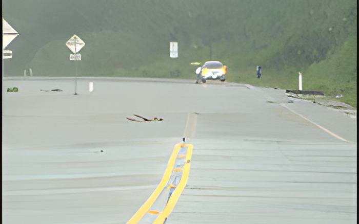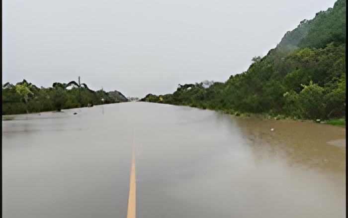
And if you have any big plans for the weekend, the current weather conditions are not expected to clear up or completely ease off until Sunday going into Monday according to Chief Met Officer Gordon.

Ronald Gordon - Chief Meteorologist
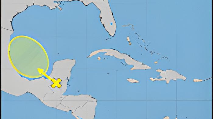
"Now looking at what is happening going forward, many persons would have seen that the National Hurricane Center has indicated a small potential for that system which is over us now to develop as it enters the Bay of Campeche. That system, of course moving to the west of us won't have an impact if it develops. Development is very very small; we don't expect it to develop. There is a very low 10% chance. Very strong level winds would tend to discourage or suppress any sort of development but in either case it would not be a threat for us in terms of a tropical cyclone but as you have seen, and as we have said always, rainfall it does not take a tropical storm or a tropical depression for you to get heavy rainfall. And so that system will move away but the upper level support will remain. And so we do expect in the immediate future term a decrease in rainfall during the afternoon there will be some breaks but we do expect another downpour tonight again into tomorrow morning early and the areas that will be most impacted again will be central Belize the same areas that were affected this morning but especially with a focus to the north so people up north need to begin preparing because we expect that the conditions will be there for up to 4-6 inches of rainfall within the next 24 hours with potential of up to 8 inches over central areas again with a heavy focus for the north. On Saturday morning we see another increase, not as much as before, about 2-4 inches, that general area and we do see some improvement going into Sunday and Monday. So it will be a trend for decrease after that period."