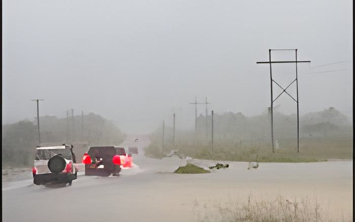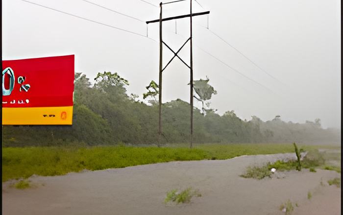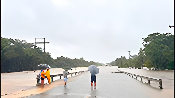
And while the City Council is preparing for contingencies - was anyone truly prepared for the volume of rainfall that poured down on Belmopan?
And was there sufficient public information before it happened?
The National Met Service sounded the alarm Friday afternoon, issuing its first alert on an incoming tropical wave. Central areas of the country were placed under an immediate excessive rainfall warning, with forecasters predicting downpours of two to four inches. But what actually fell was more than double that, and today the Chief Met shared with us what he categorized as "historic" coming in close to previous rainfall record dating back to 2002:
Ronald Gordon, Chief Meteorologist

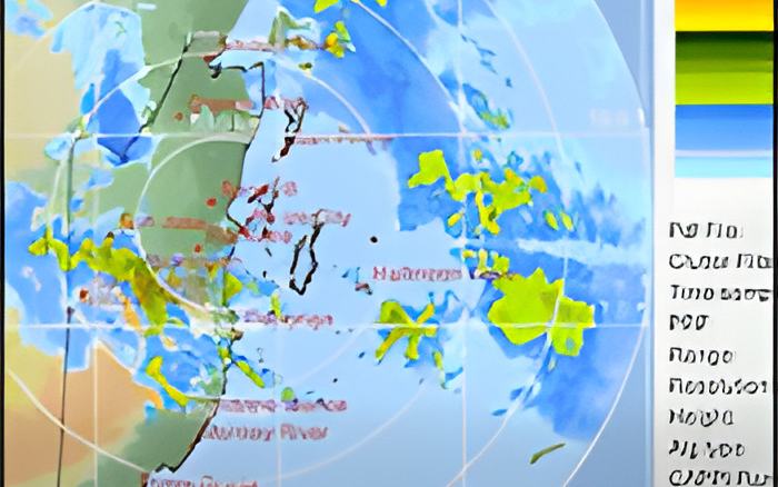
"So yes over the weekend we had a tropical wave that across the country on Saturday. That system came along with a very strong low level jet as we refer to it, strong winds, in the atmosphere and there was also upper level support for the system to produce significant rainfall, especially over the Belmopan area the Cayo District In terms of numbers, we recorded in a matter of about 12 hours, Belmopan got 273.4mm, which is 10.8 inches of rainfall in just about 12 hours from about midnight until about midday. To put that in perspective, the average rainfall for Belmopan is about 245mm for the month of July, which is 9.7 inches So the capital city recorded, more than its monthly average in just 12 hours. Historically this is not the highest that the city has seen on June 19th, 2002. We recorded 334mm of rainfall, which is 13.1inches so even though it's a significant amount of rain, it didn't break, historical record overall for Belmopan. Other notable areas, stations La Gracia which is just few miles to the northwest of Belmopan got 8.5 inches and Hershey got 8.4 inches so in that general vicinity we saw significant amounts of rainfall in a very short time period from this system."