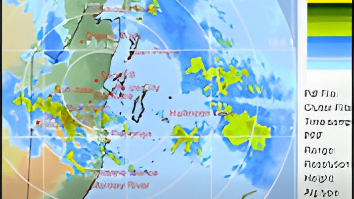
So why couldn't they predict the level of rainfall with greater accuracy?
According to Gordon, predictive models frequently miss rapid-onset, extreme weather events, leaving the country vulnerable to sudden flooding. And that's critical information because another tropical wave is approaching in the next couple day:
Ronald Gordon, Chief Meteorologist

"The system has moved away the tropical wave has moved away we got improvement in weather conditions yesterday Sunday and up to this morning however there is another tropical wave approaching which will cross the country by tomorrow or later tomorrow night. That system is already producing some moisture over the area, and we have seen some rainfall returning, especially over the southern two thirds of the country this morning into this afternoon and we expect those to continue and increase tonight into tomorrow, with some more showers and thunderstorms expected. Module prediction are going for about 2 to 3 inches maximum. We've got to be very careful. The modules are not picking up these extreme rainfall so that ten over ten inches of rainfall that Belmopan saw was not even registered in any module that we saw. They are not picking up those extremes so it is always important for residents to know that when we give you a forecast the module is just a guidance and we can sometimes get much more than those modules are saying."