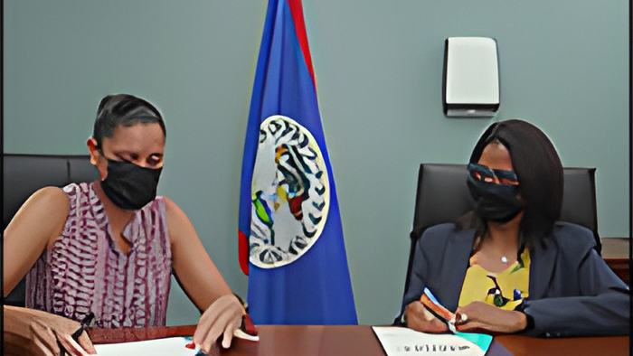
And keeping it on the country's sea spaces, Oceana Belize is reporting tonight that the Belize High Seas Fisheries Unit has signed a memorandum of understanding to make its vessel tracking data publicly available through the Global Fishing Watch map.
This Global Fishing Watch map tracks the movements of commercial fishing vessels in near real-time. So, with this agreement, Belize is sending the signal that the authorities want to increase local fisheries' transparency.
It is being touted as a major step forward in addressing illegal, unreported, and unregulated fishing, which landed Belize in trouble with the European Union back in 2012 and 2013. This along with other legislative steps have allowed the Belize Government to demonstrate its commitment to address illegal, unreported, and unregulated fishing
With video provided by Oceana, here's what VP Janelle Chanona and the representative of the Belize High Seas Fisheries Unit had to say about the signing of this MOU:

Janelle Chanona, VP, Oceana
"The signing of this MOU is a demonstration of Belize's fervent commitment to transparency and good governance. The use of the global fishing watch technology is cost effective, efficient and it enhances vessel monitoring. The expanded data sets generated in near real-time also improve the quality of informed decision making when it matters most."

Representative, Belize High Seas Fisheries Unit
"Through this partnership we will be able to increase our monitoring efforts to better prevent and detect fishing and to explore how the use of additional platforms may contribute to the monitoring activities that are carried out at the Belize High Seas Fisheries Unit."
Oceana notes that back in 2017, Indonesia became the first nation to make its proprietary vessel management system data available via Global Fishing Watch.