In recent years, aerial drones have moved from a technological novelty to a mainstream device in widespread use.
It is fast becoming a permanent feature in conservation work where rangers of different NGOs patrol their protected national parks. But, TIDE (the Toledo Institute for Development and Environment) is now enhancing its enforcement initiatives with the use of underwater drones.
Freelance Journalist Jose Sanchez has embedded with TIDE rangers, and with his help, we got a chance to see these types of drones being put to use in Belize. Here's what TIDE's Protected Areas Manager had to say about their use:
Ryan Moore - Protected Areas Manager, TIDE
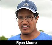
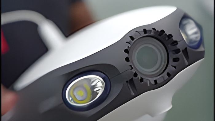
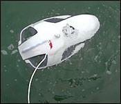
"We were just testing out some new technology. This one, in this case, is called the underwater drone."
"For us here at Tide, there are many instances whereby we see how technology can assist us in doing our work. In this case, we want to utilize the technology because people know that divers have a limited time underwater. So, this particular drone can dive for about 60 feet underwater, and then, it also does up to 4 hours. So, it can be underwater for 4 hours continuously. So, this actually expands the amount of time you have underwater where you're doing exploration, primarily - in this case - a diver may be looking for SPAG sites or something like that. He wants to see the aggregation of snappers and groupers before he goes down and he does his scouting or whatever. So, we can use this drone to visualize what is going on underwater, and then deploy the divers with their limited time. So, that is one use case for how we want to utilize this particular drone. Another use case is in the Port Honduras Marine Reserve, it is known that fish traps are still being used, which is illegal in all marine reserves, and so we want to use this particular device to find these fish traps and then remove them by other means. So, the drone is primarily to scout the area, find the fish traps, locate them, and then using a hook or something, we can then fish out the traps and remove them from the reserve. Another illegal gear is gill nets. So, we're starting to see gill nets being placed underwater. So, you're not seeing buoys floating on top of the water. And these gill nets are actually rubbing against the substrate at the bottom. That's how they're being set. So, on a vessel, when you're passing, you can't really see them. But, we are familiar with the different habitats. So, we do know, more or less, where these gill nets can potentially be. So, you can deploy a drone, like this one, to see what's happening underwater. And you have 4 hours underwater of being underwater where you can maybe scout a large area, and then, if you find any of these gill nets, you can pull them up."
As viewers are aware, TIDE co-manages the Paynes Creek National Park, the Port Honduras Marine Reserve, and their Private Protected Lands within the Maya Mountain Marine Corridor.