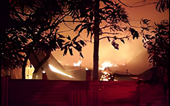
Last night, we told you all about the floods in Central and Northern Belize, which were caused by the tropical wave that crossed over the country yesterday.
But, the system has passed, and the sun rolled out big and bright this morning. But, not all is bright, because the floods mashed up some areas on the Philip Goldson Highway.
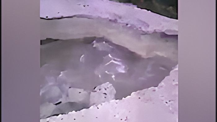
We already showed you the massive pothole left behind at mile 29 in Biscayne Village when a culvert gave way.
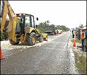
The Ministry of Infrastructure Development and Housing is continuing its repair efforts on that part of the road. But, it appears that the bad weather has exposed several other sections of the road that are vulnerable to climate change and flood.
During their survey of the damage caused by the floods, Ministry personnel encountered water covering sections of the highway at mile 31, Mile 35, and a portion of the road between miles 39 to 41.
The environment around these stretches of the highway became waterlogged, and the waters on each shoulder of the highway then lapped unto the pavement. That's an area of concern for the engineers, because it means that these parts of the road are very vulnerable to the effects of climate change.
They are already exploring options to address this issue before the vulnerabilities become a very expensive headache for the government and commuters. This evening, the coordinator of the Ministry's Project Execution Unit discussed those concerns with our news team via Zoom. Here's how he made the point that the government and citizens will have to make a difficult decision. The options are to leave the road's vulnerabilities unaddressed or spend millions of dollars in construction works to raise it above the flood waters:

Evondale Moody - Engineering Coordinator, PEU
"Based on the tropical wave that passed over the country on the 17 and the 18th of August had some significant impact on the works that are currently ongoing on the Philip Goldson Highway, between mile 24 and the Corozal border. Particularly, we had the collapse of the culvert at mile 28, which is a triple 6-hundred millimeter diameter culvert. It's an old Amco culvert, hence the collapse. What happened is that we had 2 of the outer culverts that failed, and the inner one was the only one that had remained. These culverts have been in place on the Philip Goldson Highway for some years now. The last time the Philip Goldson was upgraded was in the 1980s, and we still have a number of those structures along the entire route."
"We also had an impact due to the rainfall as well at miles 31, 35, and also between miles 39 to 41. And we also had some flooding near San Jose Village. These areas have never flooded before, with the exception of San Jose. And so, the areas that we have pinpointed are miles 31, 35, and miles 39 to 41. Those were never intended for us to raise, and so, because of climate change, all these things have now occurred. So, we need to go back to the drawing board and look at the scope of work that we're doing within those sections because have culverts within those sections that are functioning well. However, with the intense rainfall that we received, those areas were still inundated. But this is all because of climate change. The Highway project itself was designed as a road safety project, but now, we have to go back and re-look at the scope of works that we're currently implementing on the Philip Goldson Highway to see how best we could address those areas."
"Because the incident occurred just yesterday, what I have done [is] I have instructed our consultant to do a rapid assessment of the areas that were inundated by flood waters, for us to get an idea of what the extent of works would be if we need to raise those areas to become more climate resilient."
According to the coordinator, the instructions have been given to the consultant to conduct assessments on the costs of raising these vulnerable parts of the Philip Goldson Highway.