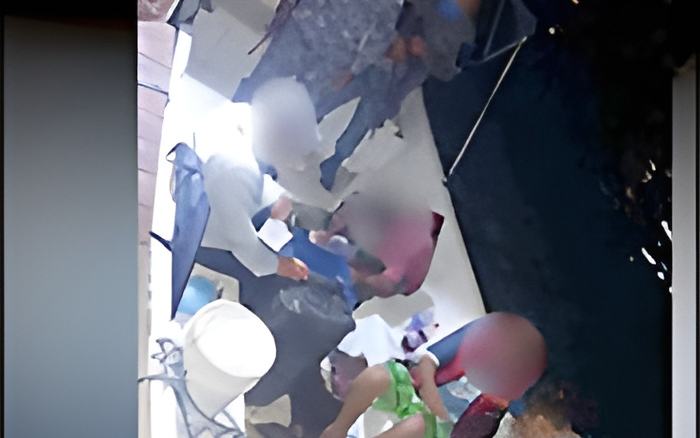
Two weeks ago, reports surfaced of tensions between Belizean tour guides and Mexican Naval forces in the Bacalar Chico waters just north of San Pedro. Both sides are claiming proprietary rights to the waters, which are used for fly fishing.
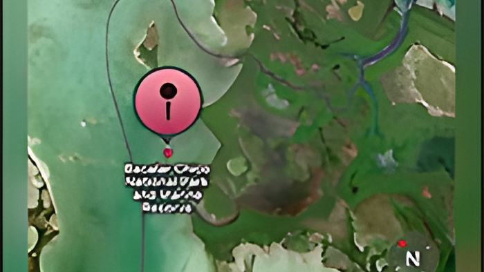
Today the commandant at the Belize Coast Guard explained that they are aware of the situation. The issue stems from an incorrect GPS reading on Google Earth that indicated the guides were in Mexican territory, whereas they were actually still within Belizean waters.
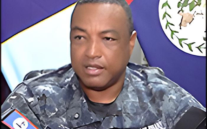
Gregory Soberanis, Rear Admiral - BCG
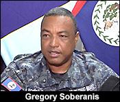
"Yes, we were made aware of the situation up north in Bacalar Chico, and the Belizean guides were able to send us a GPS position of where they were and where the incident transpired. So our navigation officers immediately got on our charts and plotted the coordinates and verified that they were in Belizean waters. We believe that separate and apart from the competition for resources when it comes to fishing and the fly fishing sector, we believe that it is also a result of a misrepresentation on Google Earth of where the boundary line actually is. So we've provided a report to our ministry who will be working the political channels through Ministry of Foreign Affairs to look at that matter. From the military to military side, we will dialogue or have dialogue with our Mexican counterparts. As you know, Belize has a great relationship with Mexico. And so even from the military side, we have a great relationship with the Mexican Navy. And so it's just a matter of dialogue, discussion, where an amicable solution can be derived and so where the interests of our people and their people can be addressed. But yes, but to your question, we believe that because most people look to Google Maps as it relates to navigation and where boundary lines are, we believe that it's a result of misrepresentation as well. For us, we don't use Google Earth and Google Maps when it comes to how we conduct our patrols. We use our admiralty charts, which is recognized as the authority for navigation. We also consulted our colleagues on the Belize Port Authority to ensure that the points or boundary points are where and where we charted it to be. And so through our collaborative efforts, we were able to verify that yes, the incident did occur within Belize's maritime space."