Two months ago we showed you the installation of the two ton Doppler radar at the Weather Bureau in Ladyville. Tonight we have an update and the news is both good and bad. The good is that the entire radar has been installed but the bad news is that it is still not operational – even though the deadline for planned start-up has passed. We went to Ladyville to find out the forecast for when it’ll be ready.
Keith Swift Reporting,
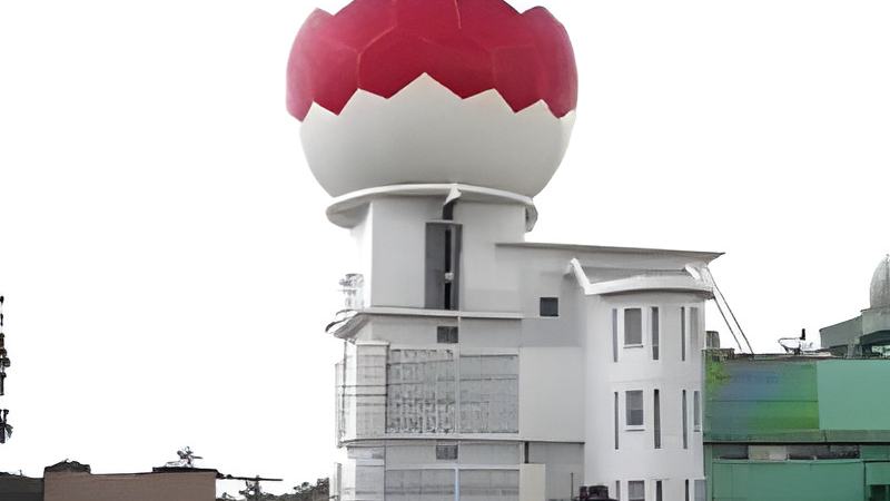
It’s up – the giant Doppler radar now sits atop the Weather Bureau’s tower in Ladyville. The actual radar is neatly tucked inside the big ball – known as the Ray-Dome.
Ramon Frutos, Acting Chief Meteorologist
“The ray-dome is a fibre glass high tech material that it is made out of and that is to protect the antenna that is inside that ray-dome. That ray-dome had to be anchored onto a base ring at the top of that tower so that it doesn’t fly away in strong winds and it will also protect that antenna because the antenna is so sensitive when it is spinning.”
It’s been spinning since September but acting Chief Meteorologist Ramon Frutos says there has been a technical glitch.
Ramon Frutos,
“That radar now is up and we had it running on a test over the past
two weeks however that test had to be interrupted because of a fault in one of the circuit boards and as soon as we receive that circuit board back then we will resume the testing. Now before the radar system can be handed over to the government of Belize we need to run a 15 day test on the system to make sure it is functioning at its optimum.”
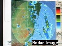
And once it is operating - the radar will be able detect thunderstorms and other extreme weather systems from as far north as the Yucatan Peninsula and as far south as Honduras. These are actual images from the radar. Frutos says you cannot be more precise than this.
Ramon Frutos,
“During the test period last week and the week before, as you recall, we had some severe thunderstorms activity around the country. We were watching with the radar images that were coming out, these severe thunderstorms moving across the country and we were able to inform the air traffic controllers about these heavy thunderstorms moving towards the

ray-dome or towards the airdrome here at the airport and they were very amazed and satisfied on the results that we were getting from the image we were getting from the radar.”
But Frutos doesn’t need the radar to forecast that the rain will continue.
Ramon Frutos,
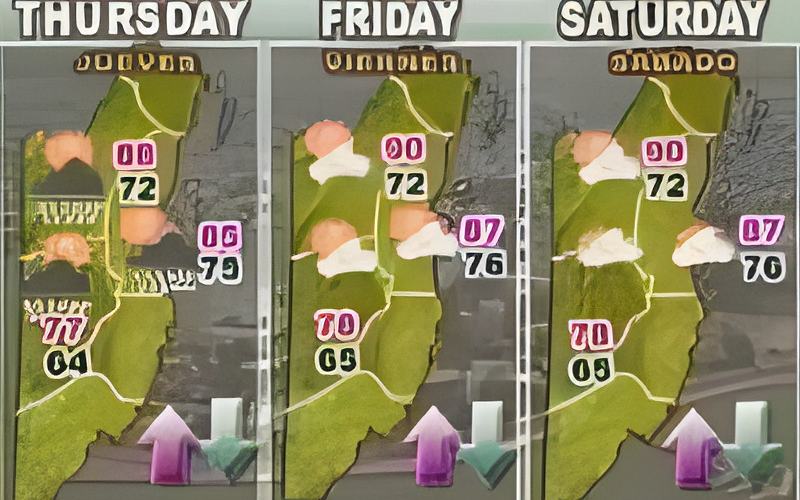
“What we have is a system in the upper level, a low pressure system over the northern part of Central America and the north western Caribbean. This is an upper level low that moved in from the central Caribbean over the past couple of days and eventually it has reached our shores. This upper level low pressure system, at about 40,000 feet up in the atmosphere is digging deep down through the atmosphere into the low level of the atmosphere and it is stopping the moisture over the western Caribbean and that is the cause of the rain showers we are getting all over the country.
In the next 24 to 48 hours it should be away from us and we should see showers decreasing a little bit. However showers will continue off and on around the country as we move into the weekend because the area will be dominated by low pressures. All of Central America and the Caribbean will continue under a low pressure area and hence we expect the residual moisture to continue to be favourable for showers to occur.”
Frutos estimates it should be running by the end of October, in time to catch the tail end of the hurricane season. A team from Selex Gematronic – the German company it was bought from will have to certify it. The company will then hand it over to government who will be responsible to service and maintain it. The Doppler radar has a lifespan of between 10 and 15 years.