

When we left you on Friday night, the news from the National Meteorological Service was that the public ought to keep a close eye on a low-pressure system that was making its way toward Belize from the northwestern Caribbean.
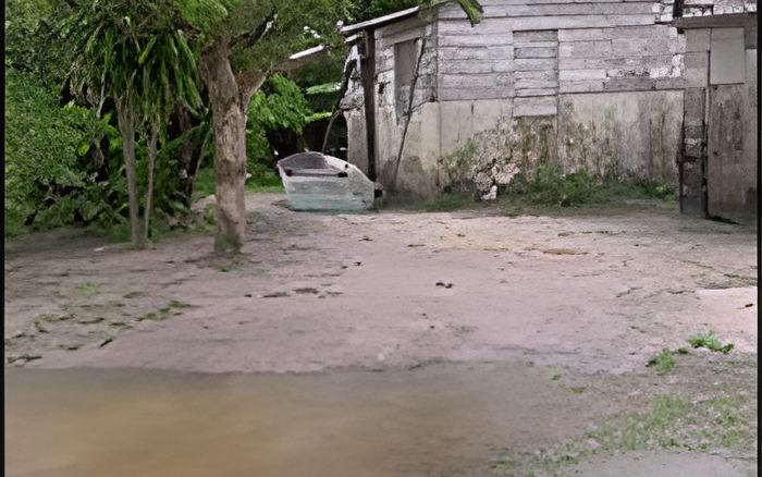
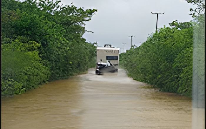
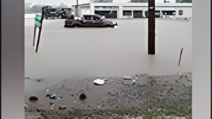
Well, that system has passed over Belize, and it dumped torrential rains on different parts of the country, but the northern Districts of Corozal and Orange Walk received the brunt of the bad weather. We'll show you all the flooding that took place as a result of the system. But, first, according to the National Emergency Management Organization and the meteorologists, the citizens should continue to be vigilant about flash floods due to all that excessive rain. The remnants of that system are still lingering, and also, the authorities say that "a slow-moving tropical wave is affecting the country today", and it will continue to do so for the rest of the week.
This morning, Chief Meteorologist Ronald Gordon and the NEMO Coordinator, Colonel Shelton Defour, granted an impromptu press briefing to provide all the information they have on the system at this time. Here's what the Chief Met Officer had to say about why you should expect bad weather going all the way into the weekend:
Ronald Gordon - Chief Meteorologist

"We were monitoring an area of low pressure that gradually moved up from over the Southwestern Caribbean Sea late last week. The system moved across Nicaragua and Eastern Honduras and emerged into the Gulf of Honduras around Thursday or Friday of last week, and then recurve to the west-northwest, crossing Belize on Saturday this last weekend. This system was being monitored for tropical cyclone development. However, that did not materialize. However, as we had mentioned previously, the area of low pressure, even though it was not likely to develop, was likely to produce intense rainfall activity across the country. As I did mention, the system crossed us on Saturday. The rains that started as early as Thursday of last week, ahead of this system, and continued through the weekend, I think peaking around Saturday into Sunday, which was yesterday. Preliminary information from our network of automatic weather stations indicates that the heaviest rainfall occurred over the Corozal and Orange Walk Districts, where some stations recorded as high as ten to around thirteen inches of rainfall within the three-day period from Friday into Sunday. And those rainfalls, as you would know by now, have created some flooding over parts of the Orange Walk and Corozal districts. The forecast going forward is that the conditions will remain very moist or very wet, to put it in that term, and very unstable for the next few days. We have a tropical wave that is near us and moving very slowly. So, that system will continue to dump every front across the country. Indications are that the districts that have been affected already will continue to be affected. As a matter of fact, the models are indicating about two to three inches with higher amounts, locally higher amounts daily for today and Tuesday, with a decrease around Wednesday. And a likely returning to better weather in the latter part of the week, that is Thursday into Friday. Important point: the ground is already saturated. There has been intense rainfall, upwards of ten inches in some locations and there's likely to be more rainfall with the models indicating about two to three inches daily and locally higher amounts because the models sometimes are conservative in their forecasts. So we need to take into consideration that what we see on the models may not be what occurs. they could be higher amounts and those rainfalls are likely to lead to more flooding in that area."