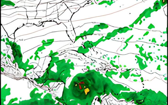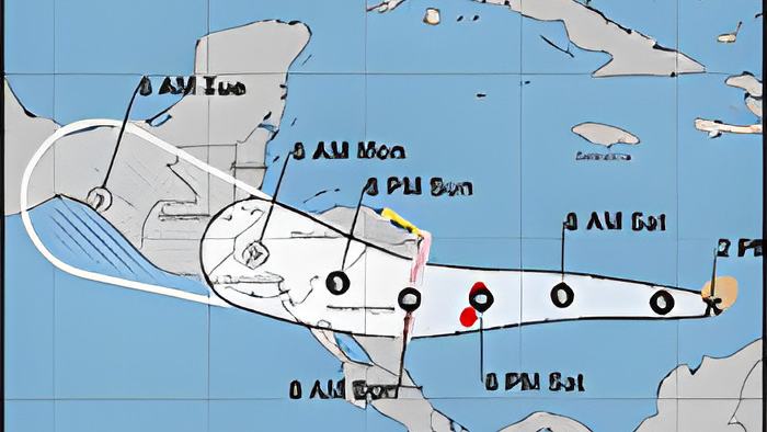
Last night the weather system tracking across the southern Caribbean Sea was being called "Potential Tropical Cyclone 13"; tonight it's Tropical Storm Julia with maximum sustained winds of 40 miles and hour, and moving west at 18 miles per hour, heading straight for Nicaragua.
That general path is forecast to continue, and it is expected to strengthen into a category one hurricane before it makes landfall in Nicaragua by Sunday morning.
So, what does that mean for the weather in Belize during this Holiday weekend? In a Zoom press briefing this afternoon, the Chief Meteorologist said that citizens should expect heavy rain as the storm's outer bands get closer:
Ronald Gordon - Chief Meteorologist
"The system is now Tropical Storm Julia which, as of 3 p.m. local time, was centered near latitude 13.0 degrees north, 74.7 degrees west, moving to the west at 18 miles per hour with maximum sustained winds of 40 miles per hour. The forecast is for Julia to continue on a westward track and to make landfall on Nicaragua early on Sunday morning as a category one hurricane. On that note, the system, after making landfall, will move further inland into Nicaragua and Honduras and dissipate over those mountainous terrains. The remnants of Julia, however, will continue moving westward, and the outer bands will move across Belize, producing torrential rainfall into the weekend. We are already experiencing moisture from a moist north-easterly airflow ahead of this

system which, of course, will cause our soils to become more saturated. And then, with the rainfall that we expect from the system as it - the remnants of it - moves south of us will basically cause the flooding situation to be worse. In terms of totals, we're expecting about 1 to 2 inches of rainfall today and then tomorrow, not from that system directly, but from the moist northeasterly airflow that I spoke about. And then, when the bands from the system moves across, we can see up to 3 to 5 inches maximum on Sunday and Monday and then decrease on Tuesday as the system moves further west. So again, the main threat from this system will be rainfall and potential flooding. Those will also include flash flooding over the areas in the south and possible landslides. In terms of winds, on Saturday night into Sunday, we're expecting winds of about 15 to 25 knots, with higher gusts near showers and thunderstorms. Those, of course, could cause significant hazards for mariners, especially those operating small vessels. So, of course, we are likely to issue a warning for Mariners during those days. But apart from that, we're not expecting tropical-storm-force winds sustained across the country. The highest probability, and the most likely scenario, is that it will not make landfall on Belize. There is a minute chance that the system emerges on the gulf of Honduras, but that is fading rapidly. If you look at the latest projections, the latest cones of uncertainty coming out from the National Hurricane Center, Belize is not included anymore. So, the most likely scenario is for the system to make landfall on Nicaragua and for its remnants to move across Central America and rapidly weaken. You have some very rugged mountainous terrain, and tropical systems don't survive that type of environment. So, the system is likely not going to emerge into the Gulf of Honduras and make any direct landfall on this country."