Last night, the nation breathed a collective sigh of relief when Hurricane Rina skirted right past us and headed up the Yucatan Peninsula.
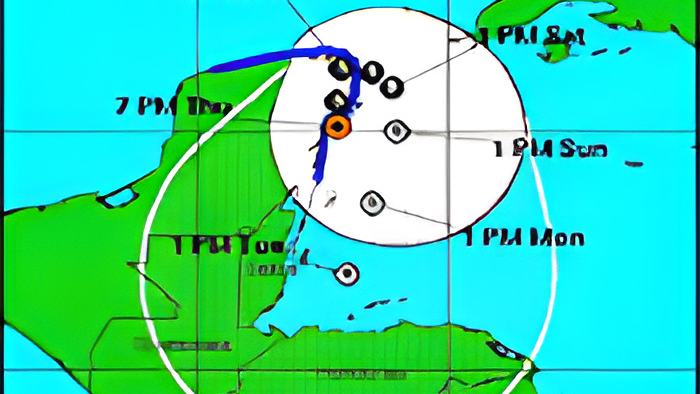
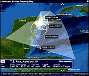
Tonight Tropical Storm Rina still has not made landfall and is about 50 miles south south west of Cozumel and heading north at seven miles per hour. But, the worry tonight is that forecasts say she's going to boomerang and head right back this way! That's because a cold front in the Gulf of Mexico will push the storm back to warmer waters in the Gulf of Honduras. Chief Met Officer Dennis Gonguez today told us that while that is the forecast, more importantly, the forecast also predicts that the storm will continue to weaken:..
Dennis Gonguez, Chief Met Officer
"Present Rina is heading towards the north and passing there near north eastern tip of the Yucatan Peninsula. It will eventually encounter a cold front which will cause the system to head east and the northerly winds behind the cold front will start to push the system south. However it will continue to weaken because of the cold air that is being circling into Rina, it will weaken and

eventually on its way south it will no longer be a tropical system, it will just be an area of low pressure - a little swirl in the wind heading south."
"There is no major concern about it; we will be monitoring this system to see whether it remains a depression on its southward track and if so we will be warning the general public if that case develops. However, the way it looks it will be a small in a hostile environment with cold air all the way around it, and so we don't see it developing into anything on its track southwards."