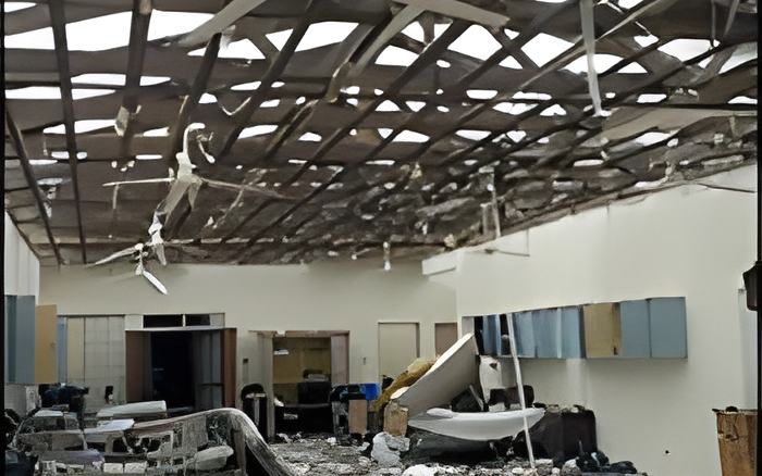
For most of us, Hurricane Lisa was not what we expected: the storm was powerful, it was large, and it kept its hurricane strength for hours as it tore across Belize from east to west.
The extreme northern and southern areas were mainly spared, but the Belize and Stann Creek Districts were the hardest hit.
Several parts of Cayo and the southern areas of the Orange Walk District also took a beating from tropical storm force winds when the weather system moved across Central Belize, heading to the western border.
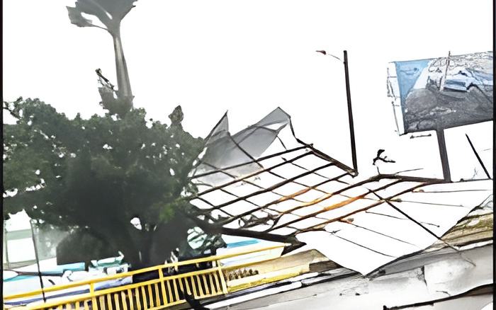
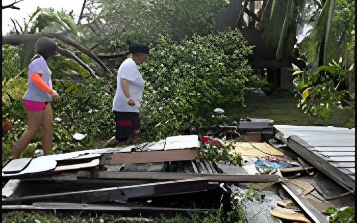
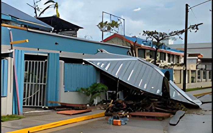
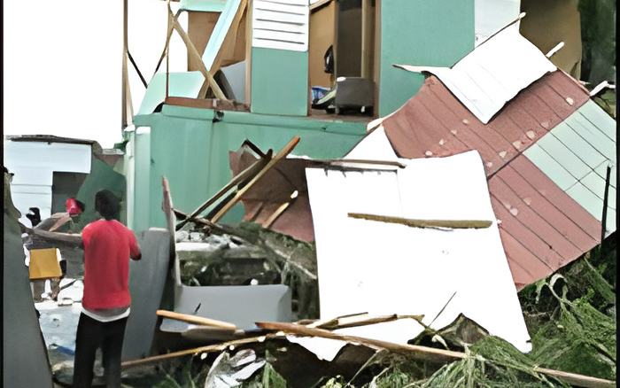
Belize City and nearby communities like Ladyville suffered significant structural damage, including roofs fully or partially blown off, and downed trees - which then pulled down BEL's power lines nearby, tugging on lamp posts - and leading to the blackout headache some many of us are dealing with tonight.
The hurricane also brought a ferocious storm surge that overtook the coastline of Belize City and some parts of the Philip Goldson Highway, where driving was something like being in a boat.
Indeed, Lisa defied all the forecasts of a small, slightly disorganized and fast moving storm - so, what was it about the storm that confounded forecasters? This morning we had a post-mortem of the storm, with Chief Meteorologist, Ronald Gordon, in a NEMO press conference. Here's what he had to say about the storm's path through Belize:
Ronald Gordon, Chief Meteorologist, NMS
"We were able to narrow down the system to make landfall between Belize and Dangriga like I said and yesterday morning, we were more certain that it's to be more near to Belize City. Eventually, as we all know, conditions deteriorated across the country starting around Sunday morning but eventually picking up around mid-day as we had every other branch from the system affecting the Belize City area. It started off of course at the Half Moon Caye, Turneffe Caye and then the core began affecting the mainland. Hurricane force winds or near hurricane force winds, began affecting Belize City around 1pm or so more or less yesterday afternoon. Just to give you some information in terms of our measurements, we have two automatic weather stations in Belize City. One at the Municipal Air Strip and one at the Port of Belize. Both these stations recorded near hurricane force winds with gust to category 1, upper category 1 hurricane force. We had a gust of 92 miles per hour at one point and this was about 3:15 more or less when the system was making landfall. Here at the airport we measured a minimum pressure of 90 millibars which is equivalent to the minimal pressure that the system was carrying at the time. So, that indicated to us that the system was passing, the eye was over us and we saw it from radar imaging as well. Unfortunately for Belize City and for us here in Ladyville, we took a battering. We were on the northern part of the eye wall, on the outer edge, and therefore we did not experience a calm so to speak. The winds came in from the North and North-East very strong, very powerful. Eventually shifted to the East and then to the South-East. When it shifted to the South-East later in the evening to the night, they were not as strong because the Southern side of the system and the winds coming from the South are normally lighter. So, in that case we began to get some ease from the system and eventually around 8 o'clock I believe more or less, we were certainly in a better condition. At that point, the system was heading more inland and I believe I got a report from Belmopan that they began experiencing significant wind, most likely to tropical storm force and the system eventually exited our country at which point we downgraded the hurricane warning to a tropical storm warning. Finally, at 3 this morning, all coastal watches were discontinuing as the system moved further away from us and we were certain that we will not be experiencing tropical storm force winds anymore from the system."
The Chief Meteorologist also discussed the rainfall and storm surge that came with Lisa's landfall:
Ronald Gordon, Chief Meteorologist, NMS
"In chance of rainfall, we had predicted about 4-6 inches of rainfall with higher gust in Belize City. In Belize City we recorded at least 7 inches from the latest measurement that I saw at the Port of Belize. That was between midnight to about 8pm last night. In terms of the rainfall measurement, they were quite in line with what we had expected. In terms of the storm surge, unfortunately we don't have instruments to measure storm surges so we go by what is reported with what people experienced, and there were reports of storm surge in Belize City as well as the Vista Del Mar once again. Persons travelling in Belize City this morning and up on the highway, we saw debris on the road that suggests to us that water from the sea actually came in off the northern highway so there was certainly a significant storm surge associated with this hurricane."
Since Lisa rumbled through Belize yesterday, the system has significantly weakened into a tropical depression moving over southeastern Mexico.