Tonight, Belizeans should start to keep an eye on what's now being called Potential Tropical Cyclone 13 which tonight is pouring torrents of rain down on the ABC islands, just north of South America. But, presently - it is not a tropical cyclone; Maximum sustained winds are near 35 miles per hour with higher gusts. But, this is one to watch closely because strengthening is forecast during the next few days; the system is expected to become a tropical depression or tropical storm later tonight and is then expected to become a hurricane by Saturday night as it approaches the coast of Nicaragua. If it makes landfall as the models are predicting, the system will then weaken rapidly while moving over mountainous terrain.
This afternoon, the National Meteorological Service and NEMO sent their first public advisory on the storm.
NEMO and the National Met Service note that if this is the scenario that plays out, then the system's strong winds should not affect Belize. The expected effects, however, are likely to be heavy rainfall and flooding, especially in Southern Belize.
But, there is a worst-case scenario that the local emergency personnel is considering. And that is if the system takes a more northerly track. If that happens, Belizeans could be dealing with a hurricane that would land in Belize by next Monday.
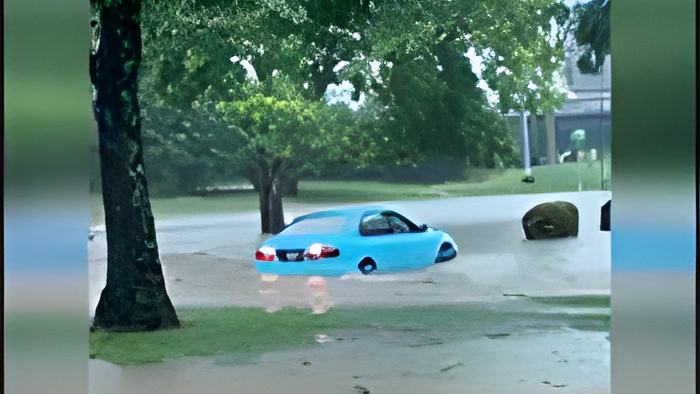
And while that is not considered likely - the heavy rainfall is enough to cause a disaster. Even as a weak and disorganized area of low pressure potential Tropical Cyclone 13 has already dumped many inches of rain on Trinidad and Tobago. Yesterday and today, that country and its citizens struggled with flash floods that inundated some of their main streets and highways.
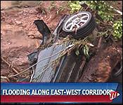
For a peek at the aftermath of the heavy downpour caused by this weather system, we take a look at news reports coming out of Trinidad and Tobago. Here is an excerpt from a news report published by the Trinidad & Tobago Television newsroom, or TTT for short:

Travis Williams, Acting Chairman, Tunapuna Piarco Regional Corporation
"What we have also happening is a number of the water courses of course being overflowed with water, we have some damages to houses etc. We have a number of our vehicles on standby right now, we have some -- out in the field who've been clearing some of the debris, helping to clear some of the roadways. We have some water trucks that will come tomorrow, of course once the water subsides."
Citizen 1
"From a little boy growing up, this river takes away about over 10 cars during the years."
Citizen 2
"Honestly this is the worst for sure, there was one similar but this one here is definitely it. Marshall and those other ones, yes this has more destruction that anything else I've seen so far."
A report out of Trinidad and Tobago indicates that emergency personnel from that country are looking for a 44-year-old woman who was swept away by the flash floods. At this time, she is missing but presumed dead.