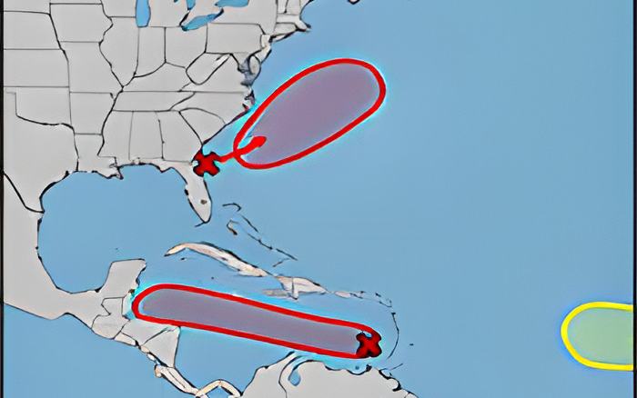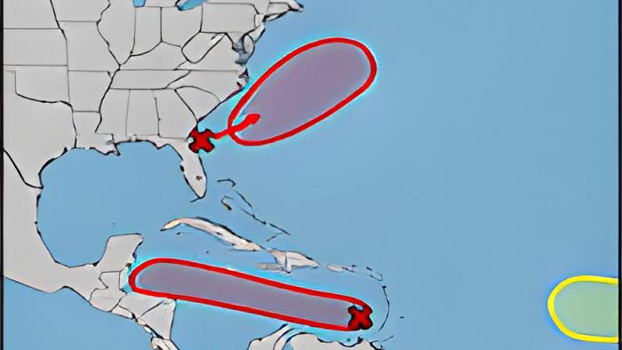
Tonight, the National Meteorological Service and the National Emergency Management Organization are keeping a close eye on a westward-moving tropical wave that is located over the Eastern Caribbean Sea.
At this time, this weather disturbance is located west of the Windward islands, but forecast weather experts think that based on its current track, Jamaica, Honduras, Belize, and the Yucatan Peninsula need to pay close attention it. The tropical wave's associated thunderstorm activity shows signs of organization, and current environmental conditions are conducive to its development. It is believed that it will strengthen into a tropical depression in the next 24 to 48 hours.
The system is moving westward at about 15 miles per hour across the Central Caribbean Sea, and the authorities expect that this system could start to affecting Belize as early as Thursday.
This afternoon, we spoke via video conference with the Deputy Chief Meteorologist at the National Met Services. Here's what he had to say about the system and what it could mean for Belize:
Ronald Gordon, Deputy Chief Meteorologist

"The tropical wave and broad area of low pressure is currently located south of Hispanola. The system is moving to the west at about 15-20 miles per hour and has a high chance of about 70% according to the national hurricane center of developing into a tropical depression within the next 48 hours. Most of the environmental factors are favorable. It is over warm sea surface temperatures, it is in a relatively moist environment and the wind shear which is the factor that normally disrupts thunderstorms from developing is relatively light and expected to continue to be light. However, the system is moving rapidly to the west, so that fast motion is preventing the system from developing a depression as was noted by the hurricane center. If that continues that way, that might be one factor that hinder development. Most of the global forecast models that we look at here at the national MET Service are not showing significant development with the system. However, we are monitoring closely in case that changes. These models are updated sometimes every 6 hours, so there is weather model coming out every so often and we look at it to see if anything change. We are not letting our guards down, we are monitoring this system closely to see if it does develop into a tropical depression before it gets here."
"In terms of the track, before a system forms we don't really have a track for it. So that cone that you see from the hurricane center is more like a guestimate, because we are not looking at a tropical development at the moment. If it does form into a depression then we can pinpoint a track for the system. You mentioned factors, typically if you have a weaker system it normally goes with the trade winds which are normally flowing from east to west. Weaker system tends to come more directly west into our area. When systems do develop into more intense hurricanes they would tend to go further north because they are picked up by the upper level winds which are usually from southwest to northeast and it would pick up these systems in these trough. Like I mentioned its too early to talk about a track, because we don't have a depression at the moment. We are expecting rainfall to start affecting the country late Wednesday night into Thursday morning. It could be heavy at times with the possibility of flash flooding. That's what we are seeing at the moment. However, the system is there is some uncertainly whether it will develop further. If it becomes a tropical storm then it might slow down a bit. The rainfall could be more and it could get gustier winds. So we are still in that uncertainty range whether the system develops into a depression or not. I must repeat to the public right now we are not dealing with a depression, we are dealing with a tropical wave which has a chance of developing further."