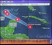
Our last story last night was an advisory from NEMO about the newly formed Hurricane Delta.
And on its track right between Jamaica and Belize, the storm just kept getting stronger - intensifying suddenly and alarmingly.
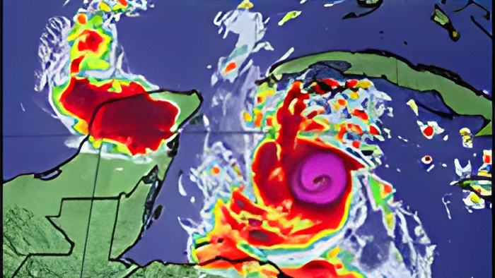
Tonight it is an extremely dangerous category four hurricane delta heading toward the northeastern coast of the Yucatan peninsula......expected to bring a life-threatening storm surge and extreme winds…
It is packing winds of 145 miles per hour and the center of Delta will move over the northeastern portion of the Yucatan peninsula late tonight or early Wednesday.
And while that is very dire news for all population centers from Tulum to north of Cancun, NEMO and the National Meteorological Service say that its impacts on Belize should be minimal.
In their advisory number #4 on the hurricane NEMO and the National Meteorological Services say, quote, "This major Hurricane is still in our zone of concern and due to its unpredictable nature, we must remain alert… The public is advised to… closely monitor Hurricane Delta, even though the models are saying it is not assessed as being a direct threat to Belize. Out of an abundance of caution, despite the current track, the public is advised to be prepared to take swift actions that will save lives." End quote.
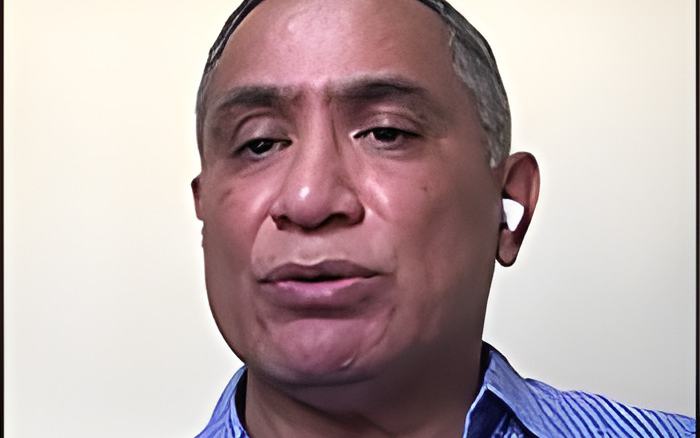
This evening, we spoke via Zoom teleconference with the acting chief meteorologist about the rapid development of this hurricane, and its possible impacts on Belize. Here's what he told us:

Ronald Gordon - Acting Chief Meteorologist
"Delta went from a tropical storm early yesterday and intensified into a Category 4 hurricane by midday today. In fact, at around 9 o'clock this morning - just after 9 o'clock, around 9:30, it was declared a category 4. Concern for us and concern for Belizeans of course is that the system is very near us. It is in our waters, so to speak. However, the good news is that it is moving on a west-northwesterly trajectory, and it is following the forecast track that has been put forth by the Hurricane Center, using all the different hurricane models that we have out there. And those models have been tightly clustered. In other words, they basically agree with each other, that the storm will move in that generally west-northwesterly direction, and make landfall well north of Belize on the northeastern coast of the Yucatan Peninsula, somewhere near Cancun, Mexico."
"We expect minimal impacts from this particular storm on Belize. One of the things that we have looked at is the winds. So, we are forecasting winds of about 15 to 25 nauts, with higher gusts, possibly to about 35 nauts at times. One of the measures that we have taken is that we have upgraded the small craft caution. As you are probably aware, we had winds gusting from yesterday. So, we had a small craft caution out. We have upgraded that as of midday today to a small craft warning."
"Another of those minimal impacts is we expect some rainfall up north from the storm, possibly in feeder bands. We're looking at 1 to 2 inches of rainfall overnight. That should not lead to significant flooding, but there is the possibility of some localized flooding in areas that are very prone to flooding. So, if you live in those areas, we advise you to probably be on the alert for it, for a small chance that we could have flooding."
We asked the Acting Chief Meteorologist about the possibility of this storm shifting its trajectory and becoming a bigger threat to Belize than is being forecasted at this time.
He told us, quote, "The chance of that happening is very unlikely. It would mean that most of the models that we're looking at are missing something very important, something crucial in the steering currents…I always say, and I repeat, it is not impossible, but it's very unlikely." End quote.