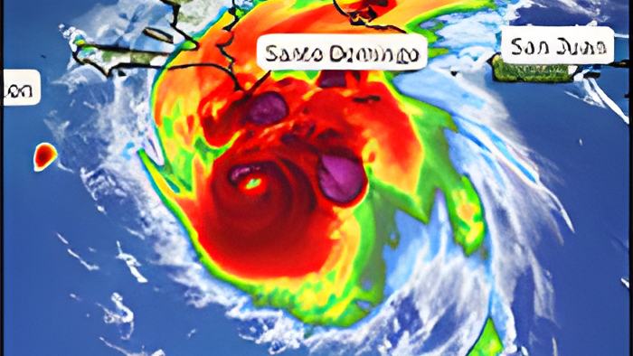
Tonight Jamaica and Cayman are bracing as Hurricane Beryl is bearing down toward those island nations where the storm is expected to bring life threatening winds and storm surge by tomorrow.
For Belize, the forecast is nowhere near as grim as it is for our Caribbean neighbors. The storm continues to track quickly west north westward and is moving south of Haiti at this time - and is about 1100 miles east by south of Belize.
The good news is that the storm which reached a record wind speed of 165 miles per hour this morning is beginning to experience the forecasted wind shear that will make it weaker.
Here's what the Chief MET Officer told us a little over two hours ago:
Ronald Gordon, Chief MET Officer

"The latest satellite imagery that I saw from Beryl shows that the eye has become a bit more ragged, indicating that the system is undergoing some weakening due to the shear, the vertical wind shear that we forecasted to start, and that is starting to affect the system."
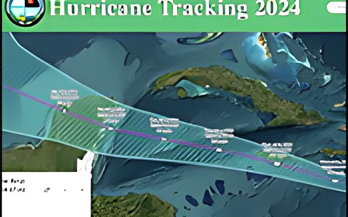
"In terms of the projected path, not much has changed since we last updated you. It is still forecast to move generally west-northwestward for the next 24 to 36 hours and impact the island of Jamaica around midday tomorrow Wednesday."
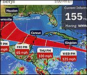
"Thereafter, the system will further weaken due to vertical wind shear as it enters the northwestern Caribbean Sea through Thursday and move generally west to west to west northwestward towards the Yucatan Peninsula with a likely landfall on the Yucatan Peninsula late on Thursday night into early Friday morning."
"The uncertainty cone or the probability cone is still relatively wide at the time of landfall. It extends from the extreme northern parts of Belize all the way to the northern tip of Yucatan, so there is still the slight chance that it could deviate and move on a more southerly part of that track, which would take it into northern Belize, and therefore we advise our residents to remain vigilant and to continue monitoring the system extremely carefully."
"It would seem that the northern parts of the country, if it follows the most probable path, will be the ones that would be on the fringes of tropical storm force winds. If it follows the worst -case scenario and moves further south, then of course hurricane force winds will affect that part of the country as well."
"The forecasted weakening indicates that at landfall it will be a category one hurricane. That is anything between 74 and 95 miles per hour in terms of wind speeds, and along with that we expect heavy rainfall near the center of landfall, along with bands extending further out, and of course storms surge to the north of the center, which we don't expect to impact the country of Belize."