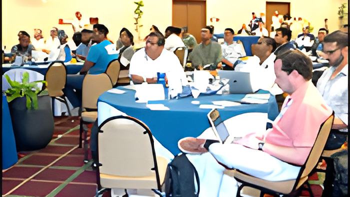
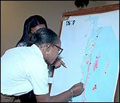

And in conservation news, the Coastal Zone Management Authority and Institute is attempting to draft Belize's first Integrated Coastal And Ocean Management Bill by way of stakeholder consultation workshops. The third workshop was hosted today at the Biltmore and we stopped by to talk to the stakeholders and see how they are being taught to use advanced tools for mapping in conservation and management. Jomarie Lanza reports.
In working towards Belize's 30 by 30 goal, protecting 30% of its ocean space by 2030, The Coastal Zone Management Authority and Institute is hosting its 3rd GeoSpatial Workshop, teaching other stakeholders how to make use of tools called Sea Sketch and Marxan. The last workshop was held in April with more than a dozen participants, but today's workshop is more than just a refresher for those in attendance today.
Delwin Guevara, GIS Mapping & Spatial Analyst, CZMAI
"So these are a series of different workshops we are having to develop what we call Marxan scenarios which is basically a tool that helps us explore all the data we have and why we are doing this is because we are actually looking for all countries have this 30 by 30 protection that we want to reach so Belize is on that road right now to accomplish that 30% of protection. Currently we are at 25% so through these workshops we are building upon what we have worked on and are trying to achieve that 30%."
Nidia Chacon, The Nature Conservancy, Stakeholder Engagement Specialist
"What is going on today is that we are going to all be looking at different scenarios, are we going to be protecting the ocean use based on ecological, social, economic? What are the trade offs? If there is conflict between a sector such as tourism or fisher folk so this is what it is, it is a consultation process and it doesn't stop here. And what TNC brings to the table is not only technical support in the form of the Belize BU but we also have the global TNC here and they have expertise in the Marxan and also in Ocean Mapping."
Guevara further explained how their partners and stake holders can make use of the mapping technology.
Delwin Guevara, GIS Mapping & Spatial Analyst, CZMAI
"One of the reasons why it is important to involve a lot of stakeholders is because we need that Buy in and at the end of the day we are developing the plan and we may be experts in spatial planning and so forth but you know when it comes to the different activities that happen in the Ocean it is the actual stakeholders that know what is on the ground, they know what is happening so it is very important to involve not only the technical people but as well as the community members that are involved in the Ocean space."
"What we have been doing is doing a lot of community consultations and we have been gathering these different inputs from communities and asking them hey you know if you had to protect an area which area would you protect? If you don't want to protect an area then lets highlight these areas and begin these conversations to have these exchanges to see where we can protect and where we can't protect because involving them is very important throughout the entire process because at the end of the day an MSP is supposed to be very inclusive of all the stakeholders and so we have already identified those so we are working with them to reach that 30%."