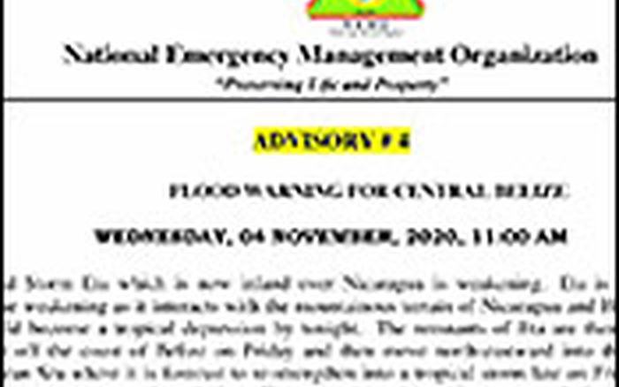
Last night we told you that the National Emergency Management Organization had warned of very serious rains. And, overnight, those rains arrived, bringing with them the rising waters that have inundated western and southern Belize.
As we told you earlier, communities at greatest risk for flooding are Gales Point, Mullins River Village, Hope Creek, Sarawee, Sittee River, Monkey River, Bella Vista, San Pedro Colombia, Big Falls, Santa Teresa, Blue Creek, San Benito Poite, Crique Sarco, Sundaywood, and Conejo Creek.
This afternoon Cherisse Halsall looked west at one portion of the country where the flash floods have already taken their toll.
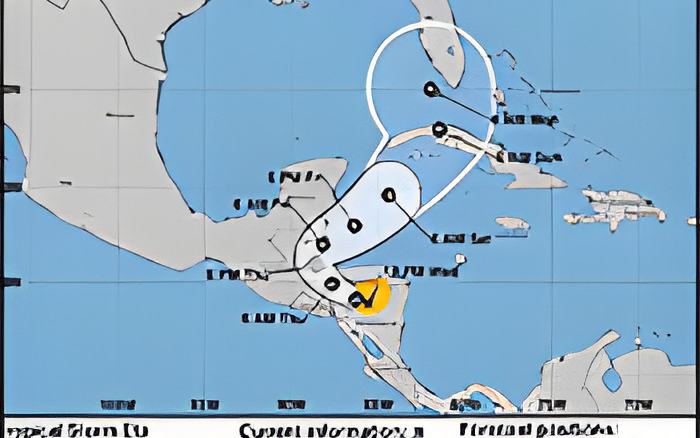
The rainfall associated with hurricane ETA have created rising floodwaters all over Belize.
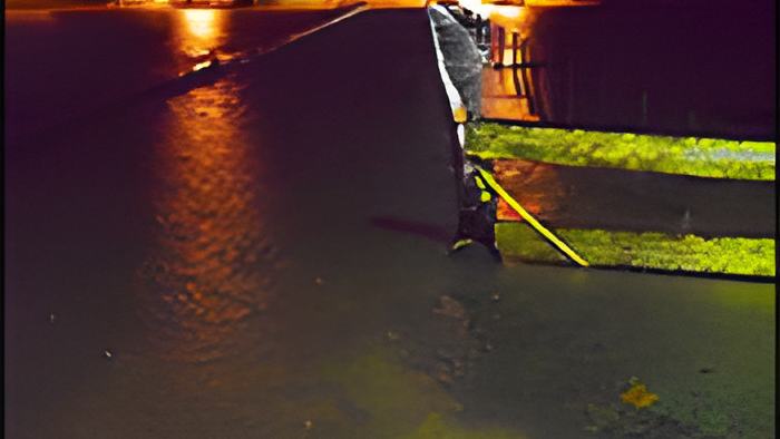
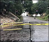
Nowhere is this more apparent than San Ignacio, where as you can see the low lying bridge, that last night was being threatened by the rising river has been completely submerged. This afternoon we got an update on the flooding from the Mayor of the twin towns, Earl Trapp.
Cherisse Halsall:
"Tell me a bit about what the damage that the floods have been causing in San Ignacio because I know that right now, the low lying bridge seems to be non-existent. And we're hearing that succotz as well it's starting to flood."

Earl Trapp. Mayor, San Ignacio and Santa Elena
"Succotz, right? Yes, basically, I'm the heavy rains that have been persisting for the past two days have been bringing on inconveniences to the residents of San Ignacio and Santa Elena and country by extension."
"This morning, since this morning, about 30 town council personnel have been evacuating and informing people from the market to, to move out because of the threats from the flood waters are rising rapidly. So the market managers went out early about two this morning and called the market vendors and asked them to move out as quick as possible as the water was quickly rising. So since this morning, our guys have been active in that area."
"Yeah, what what this is because of the torrential rains the rainfall and they xfwhat causes that what what what affects us most is because of the fact that we have two rivers, the Mopan and the Macal river, and when both rivers begin to swell, then the Mopan river causes the Macal river, basically, so it's a reverse effects the water begins to to back up since it cannot. It cannot run quickly, where it forms the Belize old river that's where everything begins to buck and the water stops flowing as free as it would not as it would normally do and begins to backup. And then that's where the inundation begins."
"So because both rivers will be swollen, it is expected that the water will take a much longer time to subside."
Cherisse Halsall:
"What is the word that you received from NEMO since Last night, and how much of that has been communicated to the residents of both towns?"
Earl Trapp. Mayor, San Ignacio and Santa Elena
"I must say that NEMO's personnel have been monitoring this storm since, basically its inception. And they have been warning people in the low lying areas, I must say that I spoke to a couple of the families in the low lying areas that were affected are affected at the moment regarding the fact that NEMO had called him Monday and advised them to move to higher grounds, but they refuse to heed the call, I also will say that NEMO has been on the ground and advising people to move to higher grounds."
And while San Ignacio is far away from Belize City, many are wondering if the rains will once again approach To Beaver Dam Bridge Washed Out, Western Belize an Island sever the link between the City and Capital. That's the question we put to Senior Chief Engineer Irving Thimbrel but he's confident that there won't be any such problem.

Irving Thimbrel, National maintenance coordinator
"We don't anticipate that we're going to have any problems, we have two existing culverts that remain from the original culverts. a part that provides a cavern under the color of that structure that is a loan for the free flow of water to pass from one section to the next. So we don't anticipate a large buildup of water but the water does fill up the spaces in between this stones that are there, the large stones will allow for water to pass in between the structure as well. So it's got to be an extreme event, thats beyond our control up to then remove that structure from there."
And Thimbrel says that there are ongoing works at the site as the Ministry of works makes sure to shore up the structure against the floodwaters.
Irving Thimbrel, National maintenance coordinator
"The rains, because it's all in and hardcore. And as it continues to rain, it affects the materials and material cannot resist by itself. So we have to continuously go out there and make adjustments. So what we are doing right now we are making adjustments so that the traffic control over the area without any kind of problem at all."
What happened in June was in fact an extreme event with the rainfall that fell in two hours being 5 times the national average for that season. Today Thimbrel called that a very extreme event one that he doesn't anticipate a repeat of.
The National Hydrological Service says that on the Macal River reservoir levels at Mollejon and Vaca facilities are above the spillway. At San Ignacio, levels are about 3.5m meters above the low-level bridge and rising.
On the MOPAN RIVER at Benque Viejo Town Flood levels are about half a foot below the Historical Keith stage, and this station continues to rise.
On the Belize River, at Banana Bank and Double Run levels are approaching Flood Stage and rising.
The Sittee River at Kendal Bridge is approaching Flood stage and rising steadily.
And just in footage from one of our viewers showing a temporary bridge in mountain Pine Ridge impassable and on the verge of being washed away.